
GeoServer2.26.1


GeoServer is a robust open-source server designed for sharing, processing, and editing geospatial data in various formats. Built on Java, it facilitates seamless interaction with multiple data sources, enabling organizations to publish maps and geospatial content through standardized web services. Its compatibility with Open Geospatial Consortium (OGC) standards, such as WMS, WFS, and WCS, ensures flexibility and interoperability.
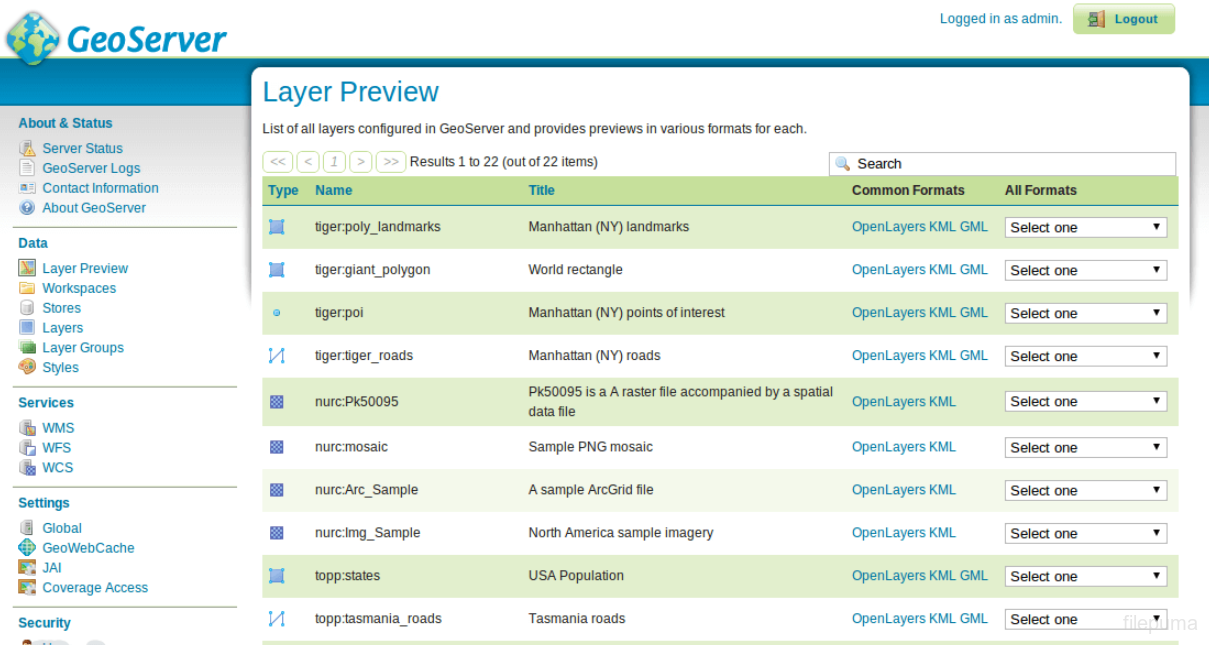
One of GeoServer's key strengths lies in its support for numerous vector and raster data formats, including Shapefiles, GeoJSON, and GeoTIFF. It integrates effortlessly with popular databases like PostGIS and Oracle Spatial, making it an excellent tool for managing spatial data. Users can create visually appealing maps using the built-in Styled Layer Descriptor (SLD) editor, providing full control over styling and rendering.
GeoServer’s extensibility further enhances its appeal. A wide range of plugins and extensions are available, enabling users to customize functionalities like data caching, security, and advanced geoprocessing. Whether used for urban planning, environmental monitoring, or web-based GIS applications, GeoServer adapts to diverse industry needs.
GeoServer also emphasizes ease of use, featuring a web-based administration interface and comprehensive documentation. Its thriving community ensures continuous development, providing updates and support to meet evolving geospatial demands. By bridging complex geospatial data with intuitive web services, GeoServer empowers users to unlock the full potential of their geospatial resources.
Key Features:
- Open Standards Support: Implements Open Geospatial Consortium (OGC) standards such as WMS, WFS, WCS, and WMTS for seamless geospatial data sharing.
- Wide Data Format Compatibility: Supports a variety of data sources including Shapefiles, PostGIS, GeoPackage, Oracle Spatial, and raster formats like GeoTIFF.
- Interactive Web Map: Enables the creation and publication of interactive web maps with customizable styling and layer control.
- Styling with SLD and CSS: Provides extensive styling options using Styled Layer Descriptor (SLD) or CSS for advanced map customization.
- High Scalability: Optimized for performance, handling high volumes of spatial data and user requests efficiently.
- Spatial Analysis Tools: Offers advanced spatial querying, filtering, and processing capabilities directly through the server.
- REST API and Web Admin Interface: Includes a RESTful API and a user-friendly web interface for easy configuration, data management, and automation.
- Extensibility: Supports plugins and extensions for adding new data formats, services, and custom functionality.
- Community-Driven Development: Open-source software with active contributions and updates from a global community.
- Security Features: Includes user authentication, role-based access control, and secure data access.
- Integration with Third-Party Tools: Seamlessly integrates with GIS platforms like QGIS and web frameworks like OpenLayers and Leaflet.
Program available in other languages
- Télécharger GeoServer
- Herunterladen GeoServer
- Scaricare GeoServer
- ダウンロード GeoServer
- Descargar GeoServer
- Baixar GeoServer
User Reviews
User Rating

License:
Free
Requirements:
Windows 10/ Windows 11
Languages:
Multi-languages
Size:
110.78 MB
Publisher:
Open Source Geospatial Foundation
Updated:
Nov 20, 2024
Clean
Report Software
Developer's Software
 GeoServer 2.26.2
 BlueStacks App Player 5.21.656
 NVIDIA GeForce Experience 3.28.0.417
 Start Menu 8 6.0.0.2
 Stellarium (64bit) 24.4
 Rainmeter 4.5.21
Security Levels
To avoid any potential harm to your device and ensure the security of your data and privacy, our team checks every time a new installation file is uploaded to our servers or linked to a remote server and periodically reviews the file to confirm or update its status. Based on this checking, we set the following security levels for any downloadable files.
 Clean
Clean
It is highly likely that this software program is clean.
We scanned files and URLs associated with this software program in more than 60 of the world's leading antivirus services; no possible threats were found. And there is no third-party softwarebundled.
 Warning
This program is advertising supported and may offer to install third-party programs that are not required. These may include a toolbar, changing your homepage, default search engine, or installing other party programs. These could be false positives, and our users are advised to be careful when installing and using this software.
 Disabled
This software is no longer available for download. It is highly likely that this software program is malicious or has security issues or other reasons.
Submit a Report
Thank you!
Your report has been sent.
We will review your request and take appropriate action.
Please note that you will not receive a notification about anyaction taken dueto this report.We apologize for anyinconvenience this may cause.
We appreciate your help in keeping our website clean and safe.