Google Earth allows you to fly anywhere on Earth to view satellite imagery, maps, terrain, 3D buildings, from galaxies in outer space to the canyons of the ocean. You can explore rich geographical content, save your toured places, and share with others. So how to use it? Here is the guide help you to do it.
Steps:
1. Download Google Earth from here:
http://www.filepuma.com/download/google_earth_7.1.2.2041-4471/
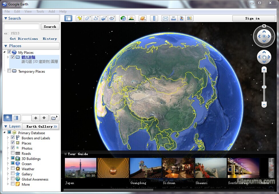
2. Run Google Earth and then you will see a beautiful interface.
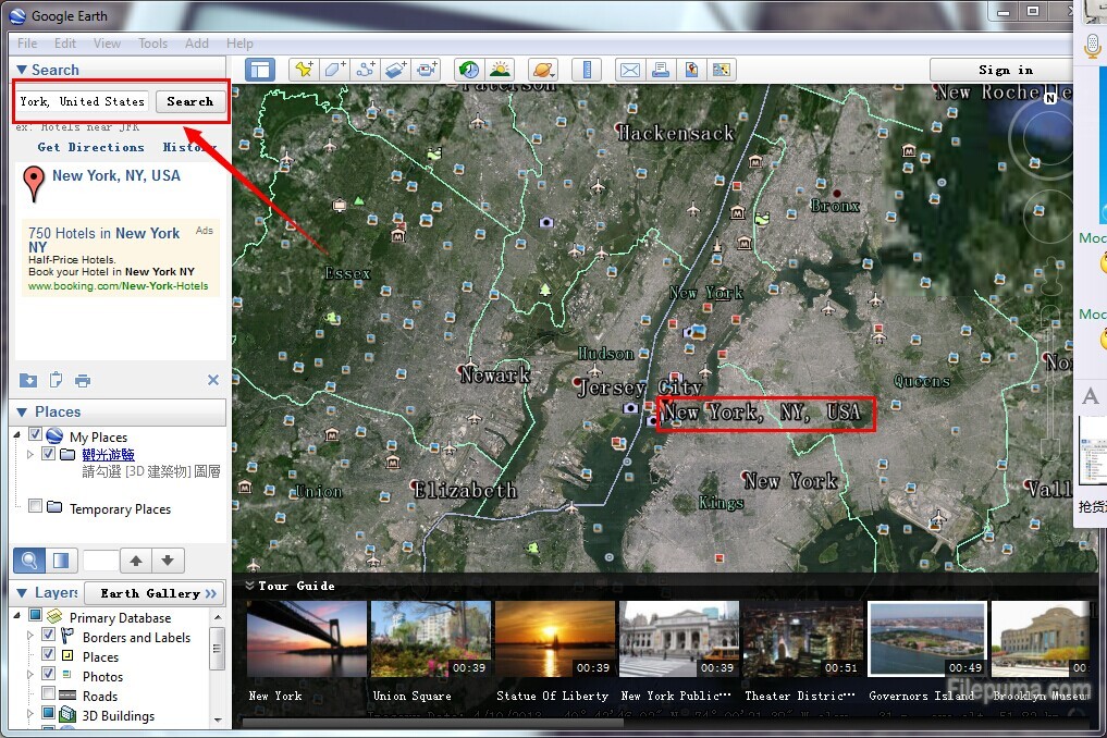
3. Enter the postcode, county, town or country, etc. you want into the search bar at the top right of the screen. And then the map will jump to the place you searched.
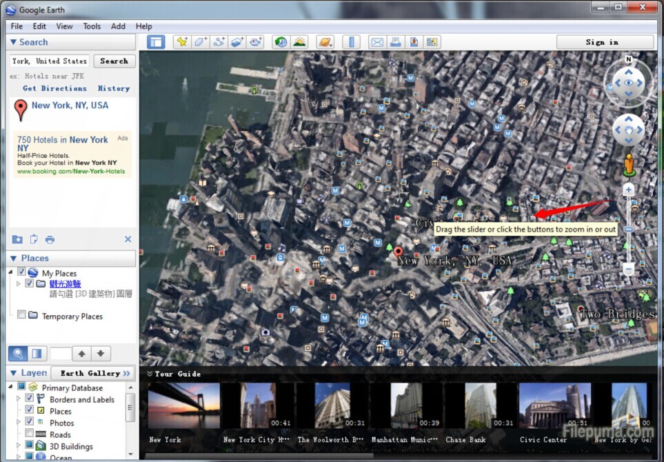
4. Drag the slider or click the buttons to zoom in or out.
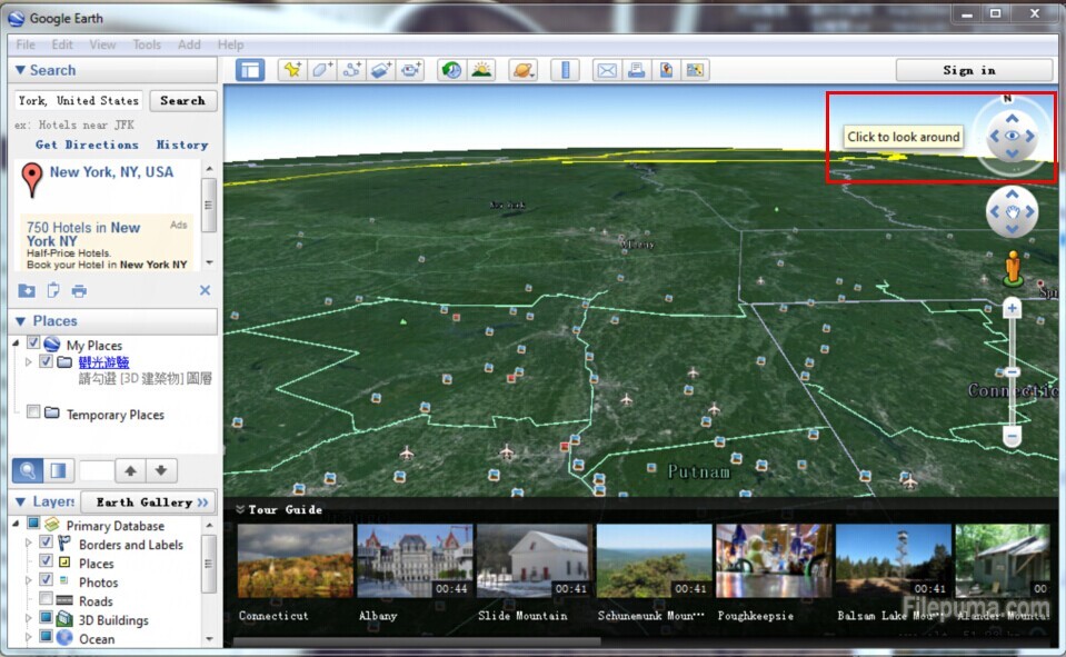
5. Click to look around.
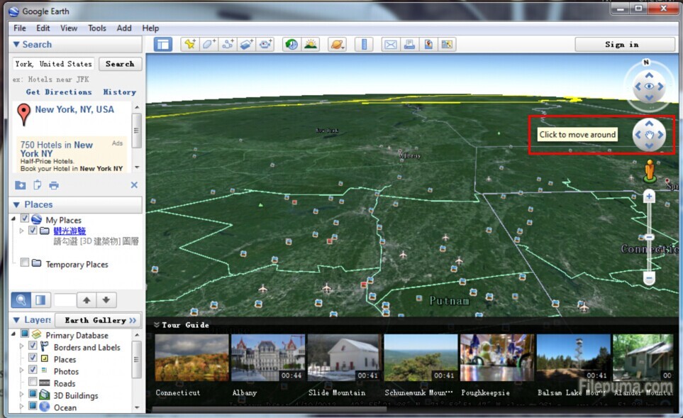
6. Click to move around.
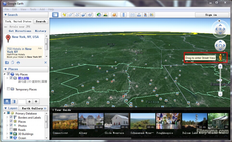
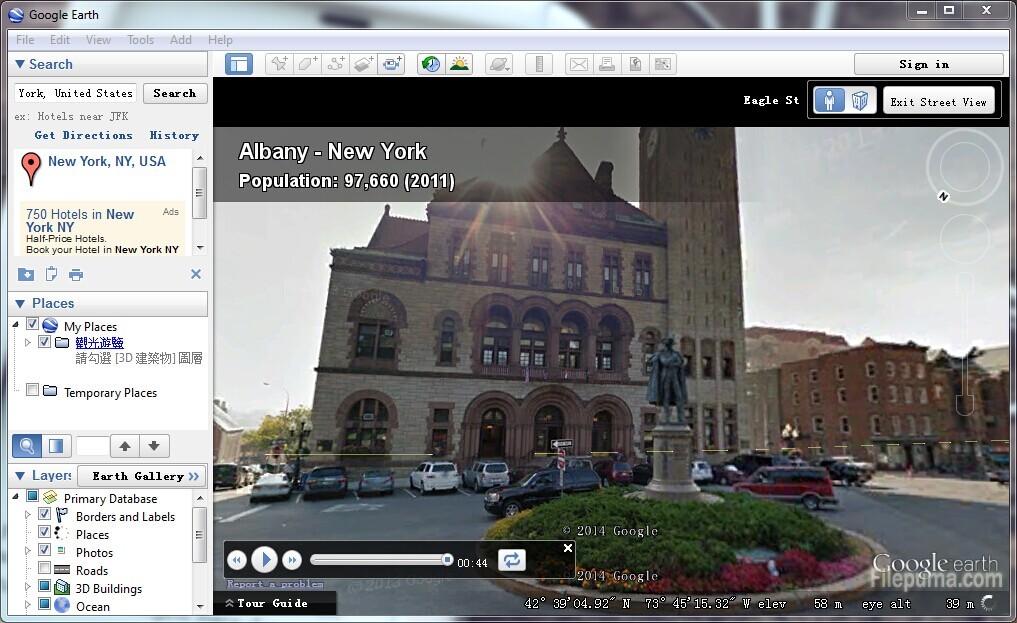
7. Drag to enter Street View. This will make a bird’s eye view change a human type of view and vice versa.

Leave a Reply